
Clearwater River, Wells Gray Provincial Park · Photo: Kevin Teague, CC BY 2.0
BACKCOUNTRY · ROADS · TRAILS · RIDING AREAS
Public access to B.C.’s backcountry. Roads, trails and riding areas, and what is happening to them.
The roads, trails and riding areas British Columbians use to reach the land, who uses them, and what is changing: roads closed or posted for removal, trails and riding areas lost, and the land deals and parks behind them.
Jump to
Why we cover itPublic roads and trails are how British Columbians reach the backcountry, and access to them is changing
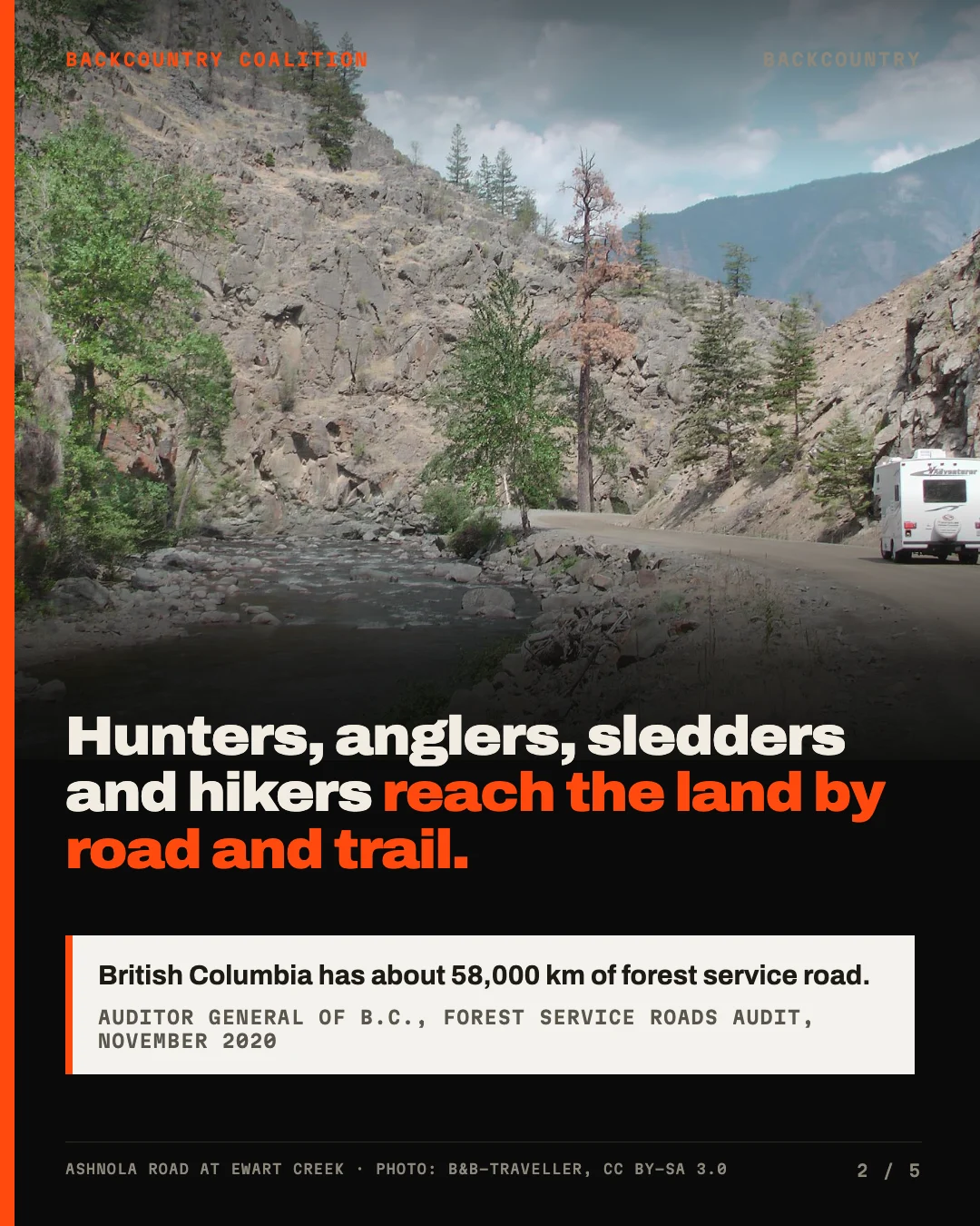
Hunters, anglers, snowmobilers, off-roaders, hikers, mountain bikers, outfitters and the families who live up the valleys all get onto the land the same way: by road and by trail. British Columbia has about 58,000 kilometres of forest service road alone.1 When a road is gated, retired or posted for deactivation, the lake, the trailhead or the riding area at the end of it goes with it.
We are not inherently political, but in British Columbia public access is such a political issue that the Backcountry Coalition was formed to speak plainly and loudly about it on behalf of the people who use the land. We tell that story through the public record: the documents, the decisions and the names behind them.
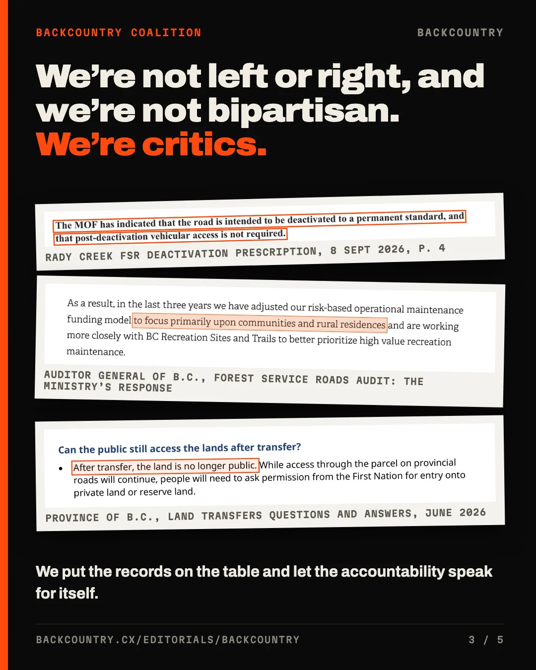
There are already groups that speak for people who use the backcountry, and many of them do it by staying bipartisan. They keep a seat at every government’s table, word their concerns carefully, and seldom say who decided what. That work has its place, but we are not part of it.
In our view, access to public land is not a left or right issue, and we are not bipartisan either. We are critics. We put the records on the table and let the accountability speak for itself, whichever party the people responsible sit with.
We report on what decides that access. That means the roads and trails being closed or removed, the riding areas closed to sleds, the Crown land being transferred, and the parks and protected areas being added under 30 by 30.2 We also follow the money and the paperwork behind each decision, and who is paid to carry it out.3
Each place we report on goes onto the map below with its status and its story, so this page grows with the coverage. If a road, trail or riding area near you is closing, tell us about it.
The mapOur reporting coverage so far, region by region
Each dot is a road, trail or riding area in our reporting. Choose a region to zoom in; the list beside the map follows.
North and Peace
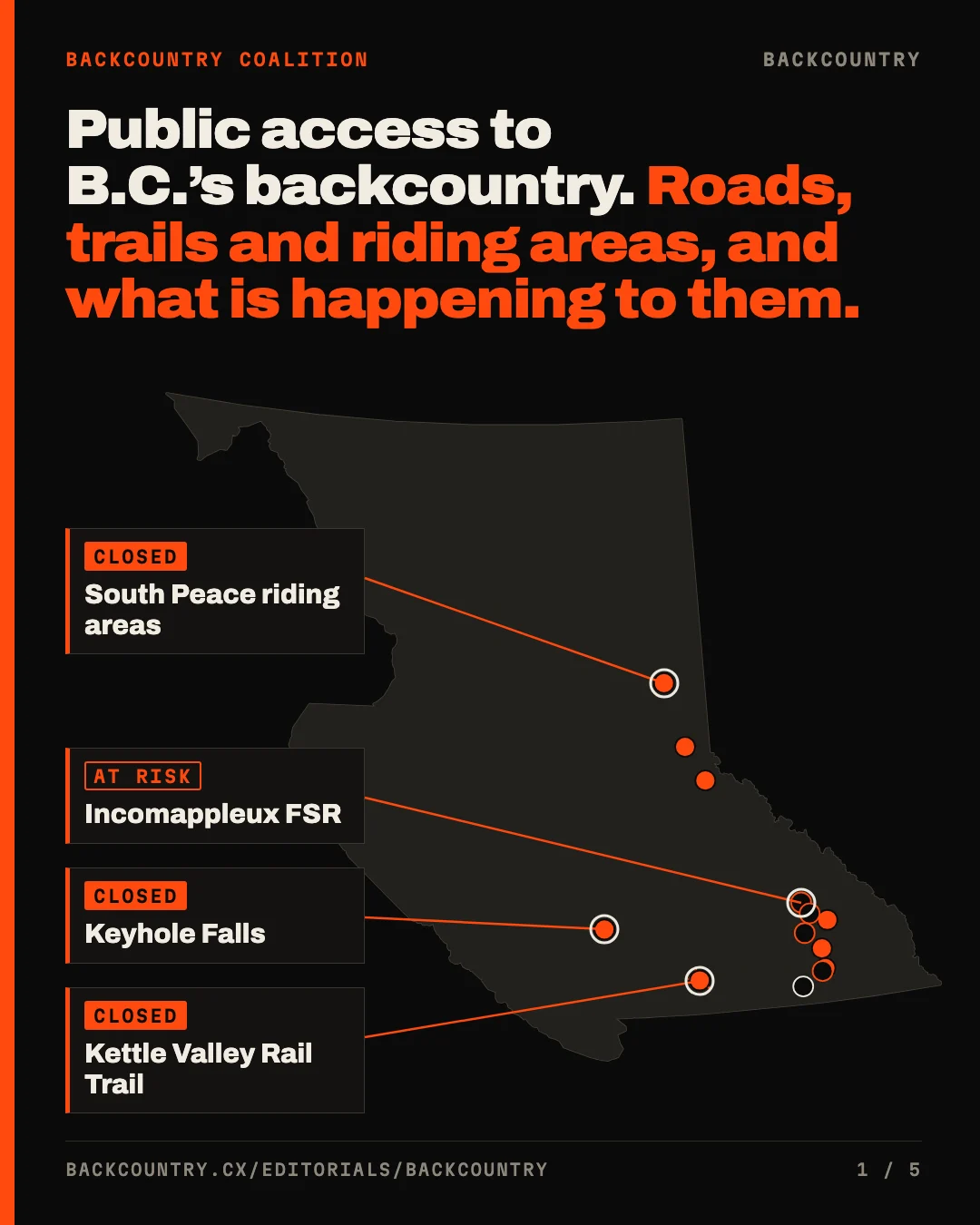
- South Peace riding areasClosedAbout 454,000 hectares closed to snowmobiles in 13 of 21 riding areas in December 2021.
- Walker FSR, the road to Kakwa ParkClosedClosed near km 52 on 22 July 2026; five bridges beyond it are rated at zero tonnes.
- Renshaw bridge, McBrideClosedThe bridge was pulled in December 2024; riders fell from about 12,000 a season to 3,500.
Okanagan and Similkameen
Kootenays
- Incomappleux FSRAt riskPosted in November 2025. Some 140 parcels and 28 landowners along 13 km have no other way in.
- Heights FSR, Duhamel CreekClosedPosted on 6 July 2026 and closed on 28 August 2026.
- Duncan River FSRClosed22.4 km retired on 11 June 2025, with no notice on the district’s page.
- Columbia & Western Rail TrailChangedThe Province cancelled its recreation designation in July 2020.
- Sitkum Creek FSR, West ArmAt riskPosted for deactivation in June 2027: 3,852.7 m, 57% of the road, the whole upper half.
- Idaho Lookout FSR, SandonClosedClosed at 1.5 km since June 2020, with fill slope failures and a culvert washout.
- Rady Creek FSR, above Trout LakeAt riskPosted for deactivation on 13 November 2025. The tender scheduled the work to be finished by 1 November 2026.
- Kuskanax Creek FSR, NakuspAt riskPosted for deactivation on 3 November 2025.
- Closed closed or removed
- At risk posted for deactivation
- Changed designation removed
ThreadsThe stories we keep following, as each one develops
How the road system works3 stories
British Columbia has about 58,000 kilometres of forest service road, and its upkeep has been funded at a fraction of the need
Who builds, maintains and removes British Columbia’s resource roads.
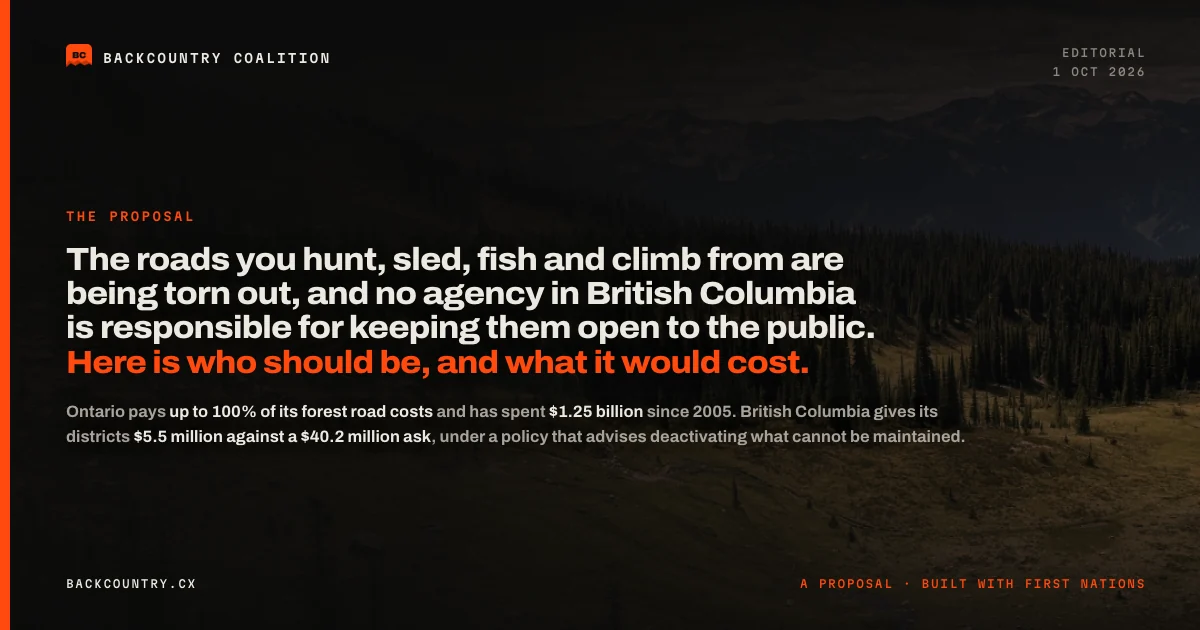 The roads you hunt, sled, fish and climb from are being torn out, and no agency in British Columbia is responsible for keeping any of them open. Here is who should be, and what it would cost.
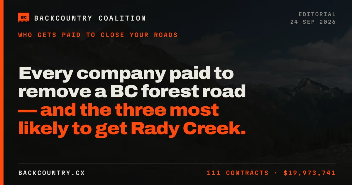 Every company paid to remove a BC forest road — and the three most likely to get Rady Creek
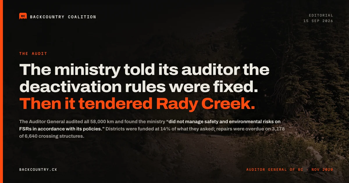 The ministry told its auditor the deactivation rules were fixed. Then it tendered Rady Creek.
Snowmobile country and trails4 stories
In snowmobile country and on the rail trails, riders and hikers have lost ground from the South Peace to the Coquihalla
The riding areas, park roads and rail trails from the South Peace to the Coquihalla.
 South Peace riders waited 16 months for renewed permits. Within four months, NDP minister Randene Neill scrapped the permit system and closed their riding areas indefinitely for caribou.
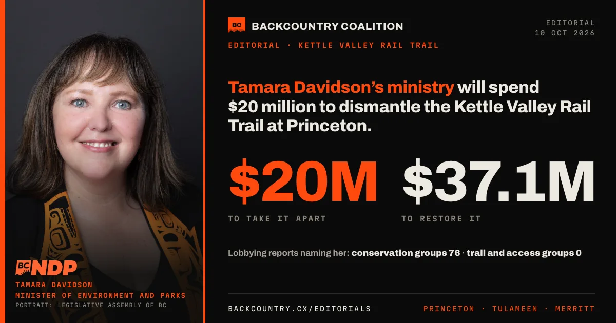 Tamara Davidson’s ministry will spend $20 million to dismantle the Kettle Valley Rail Trail at Princeton.
 Ravi Parmar’s Forests ministry closed the only B.C. road to Kakwa Park over five unsafe bridges. Snowmobilers, horse packers, hikers and hunters are cut off, and it has published no plan to reopen it.
Parks, Crown land and 30 by 303 stories
B.C. is protecting more land under 30 by 30, and the agreement behind it does not mention access
What is protected, what is transferred, and what each means for getting onto the land.
 Are Carney and Eby washing B.C.’s Crown land of a 155‑year‑old legal debt? The public that uses it gets no seat at the table.
 In 2024 NDP ministers Murray Rankin and Nathan Cullen also signed Eby’s $104-million land deal with the shíshálh Nation 36 days before that election was called too. Voters weren’t told until three months after it.
 Leaked: Eby’s government plans to transfer about 400 parcels of Crown land to First Nations. To see the plan, you had to sign an NDA and stay silent until after the vote.
Kootenay roads2 stories
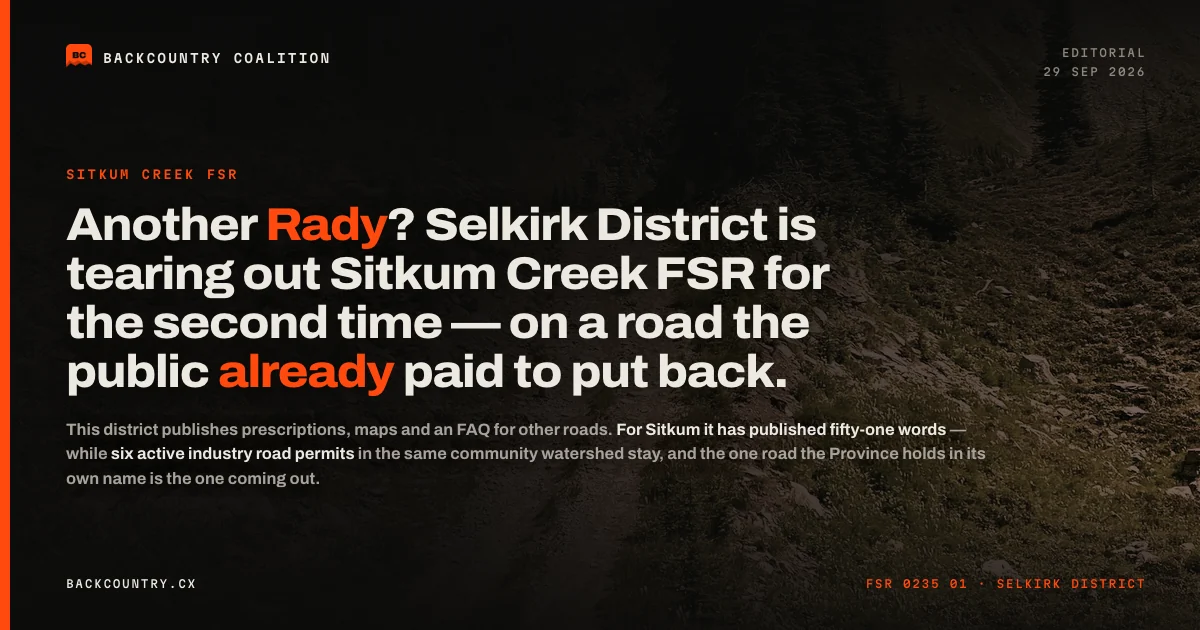
In the Selkirk district, twenty-two public roads can no longer be driven to the end
Sitkum Creek, Idaho Peak and the forest roads of the Selkirk district.
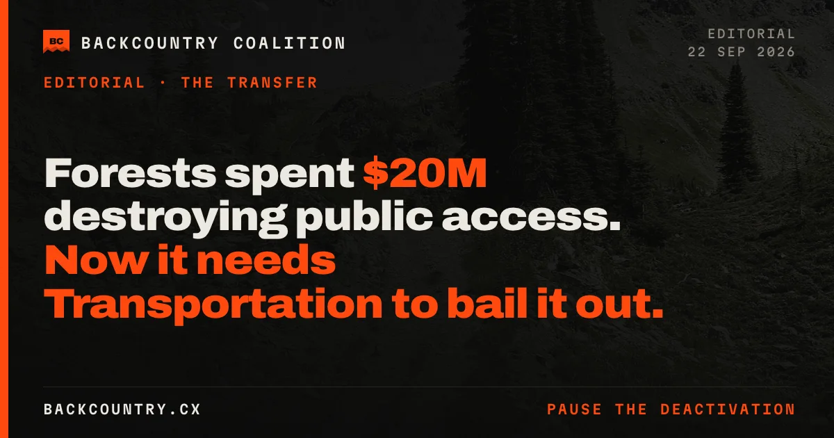
Rady Creek and Trout Lake8 stories
Rady Creek has carried people above Trout Lake since 1901, and its future has been in question since 2020
The road above Trout Lake, the people who use it and the record behind its deactivation. saverady.com↗
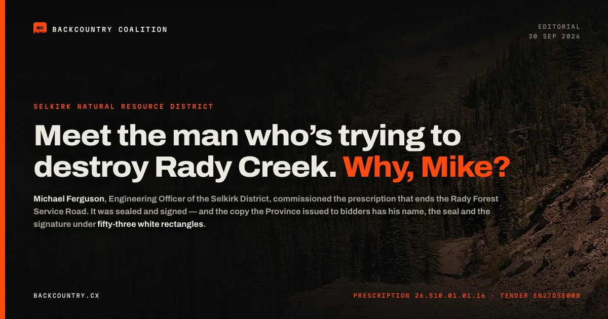 Meet the man who’s trying to destroy Rady Creek; Michael Ferguson and his crusade at the Selkirk District to attack public access to public land. The only question left is; Why, Mike?
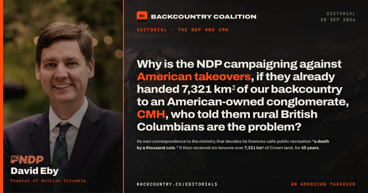 Why is the NDP campaigning against American takeovers, if they already handed 7,321 km² of our backcountry to an American-owned conglomerate — CMH, who told them rural British Columbians are the problem?
 So, why is the NDP lying about liability at Rady if they already passed a law to stop roads being closed over liability in 2012?
See all 8 stories↓
 Ravi’s MoF just bought a report to justify killing Rady Creek. We removed the redactions — it says plainly: “leave the road prism intact.”
 It was never the caribou. The Ministry of Forests said so itself, in writing, in 2021.
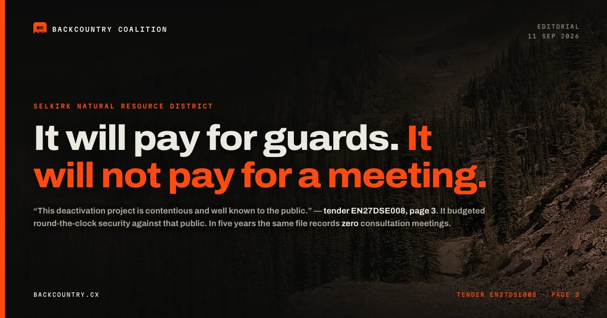 It will pay for guards. It will not pay for a meeting.
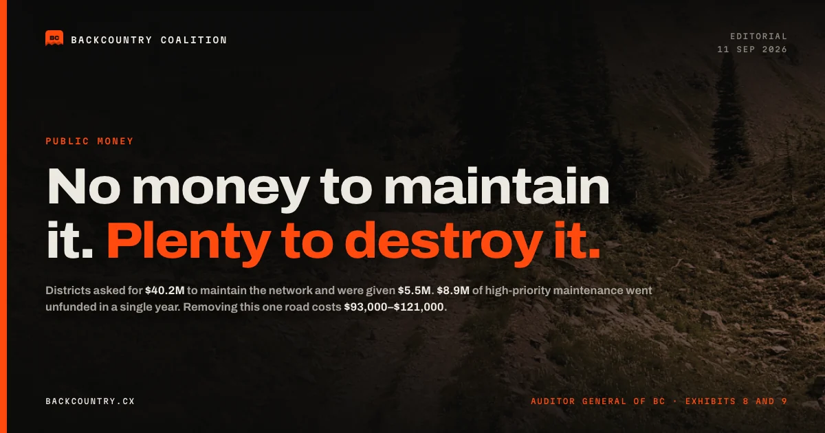 No money to maintain it. Plenty to destroy it.
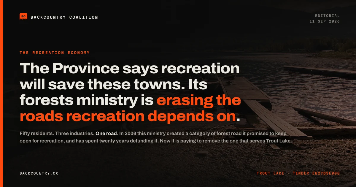 The Province says recreation will save these towns. Its forests ministry is erasing the roads recreation depends on.
LatestWhat we have published most recently
- Are Carney and Eby washing B.C.’s Crown land of a 155‑year‑old legal debt? The public that uses it gets no seat at the table.
- South Peace riders waited 16 months for renewed permits. Within four months, NDP minister Randene Neill scrapped the permit system and closed their riding areas indefinitely for caribou.
- In 2024 NDP ministers Murray Rankin and Nathan Cullen also signed Eby’s $104-million land deal with the shíshálh Nation 36 days before that election was called too. Voters weren’t told until three months after it.
- Leaked: Eby’s government plans to transfer about 400 parcels of Crown land to First Nations. To see the plan, you had to sign an NDA and stay silent until after the vote.
- Tamara Davidson’s ministry will spend $20 million to dismantle the Kettle Valley Rail Trail at Princeton.
- Ravi Parmar’s Forests ministry closed the only B.C. road to Kakwa Park over five unsafe bridges. Snowmobilers, horse packers, hikers and hunters are cut off, and it has published no plan to reopen it.
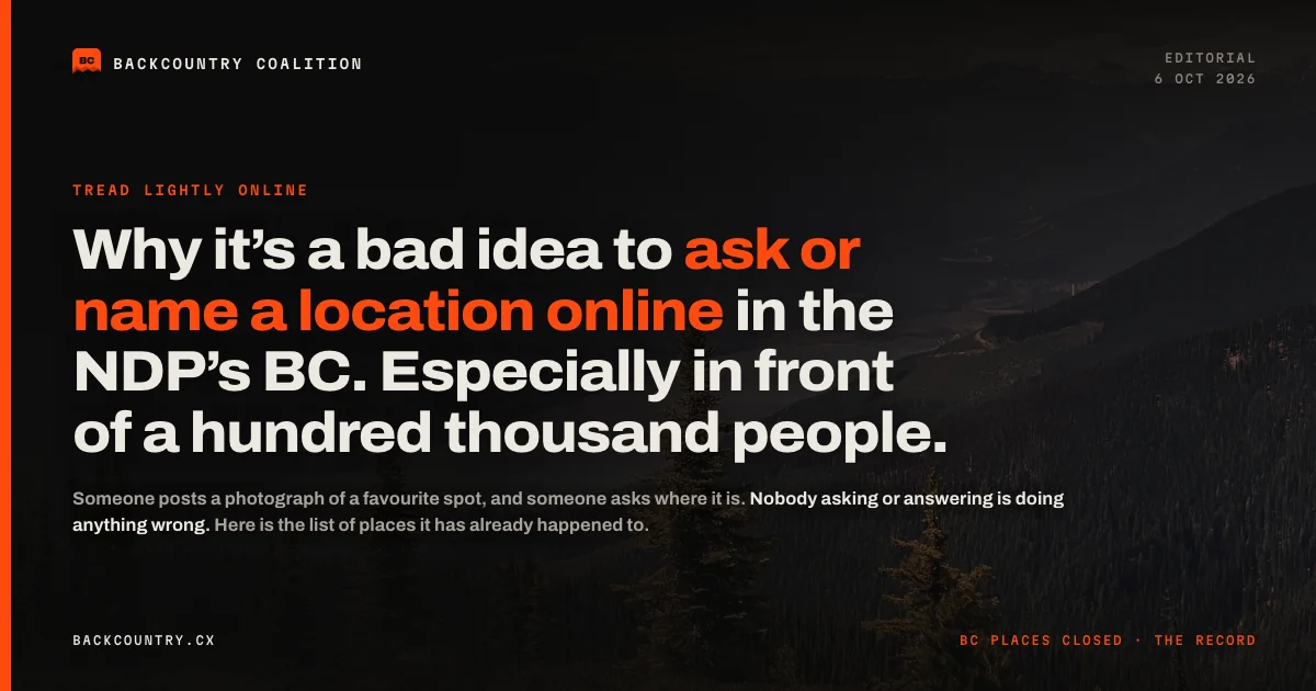 Why it’s a bad idea to ask or name a location online in the NDP’s BC. Especially in front of a hundred thousand people.
- The roads you hunt, sled, fish and climb from are being torn out, and no agency in British Columbia is responsible for keeping any of them open. Here is who should be, and what it would cost.
Share this story
Five images to share, one point on each.


Suggested caption
We’ve launched our backcountry hub: one page, province-wide, on public access to B.C.’s backcountry.
It maps every road, trail and riding area we’ve reported on, from the South Peace riding areas and the Walker road to Kakwa Park to Rady Creek above Trout Lake, each with its status and its story.
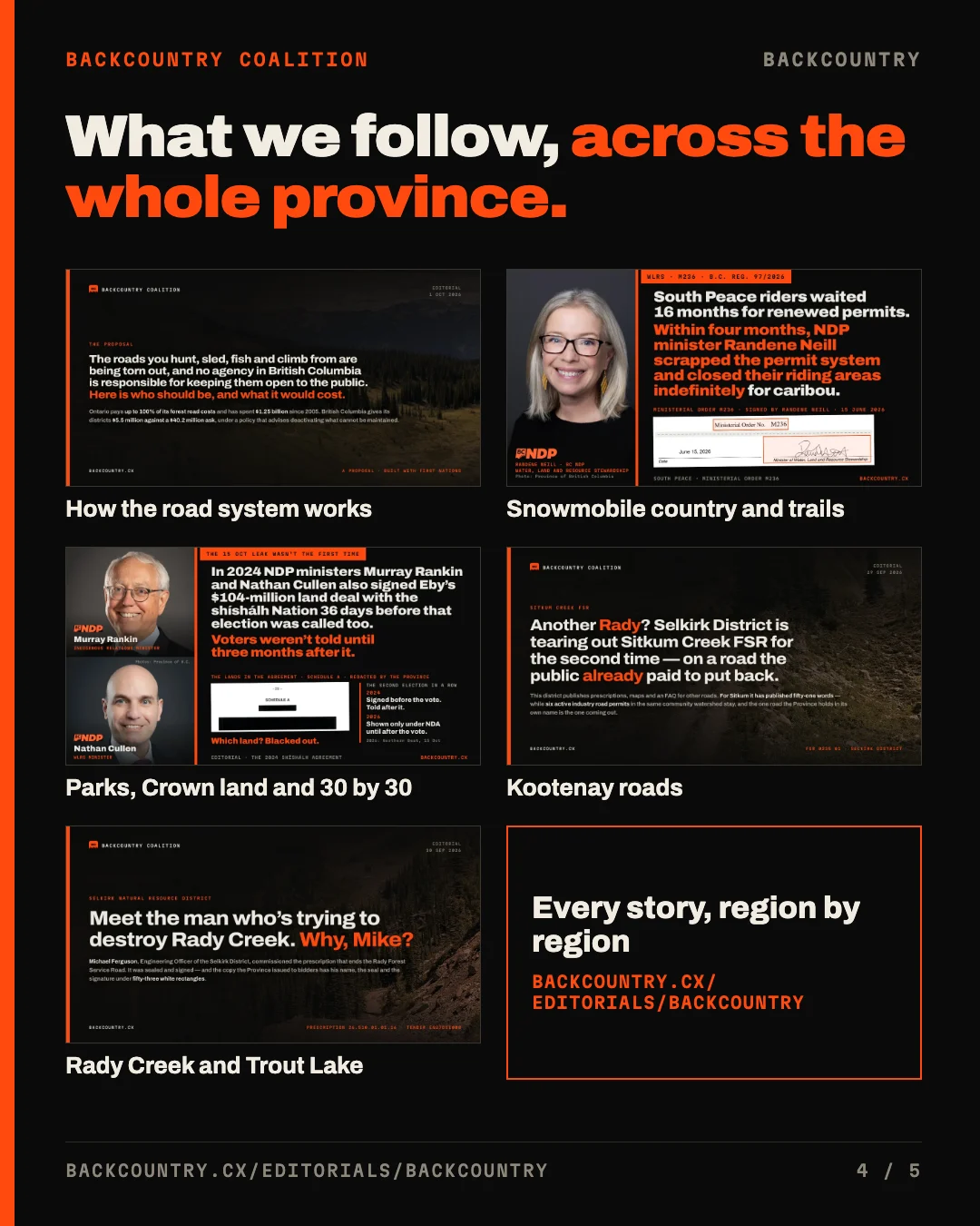
It also gathers the stories we keep following: how the forest road system works, snowmobile country and the rail trails, Crown land and 30 by 30, the Kootenay roads, and Rady Creek and Trout Lake.
British Columbia has about 58,000 kilometres of forest service road. When one is gated, retired or posted for deactivation, the lake, the trailhead or the riding area at the end of it goes with it.
Know a road, trail or riding area near you that is closing? Tell us at contact@backcountry.cx, with the place, what has changed and anything posted about it.
🔗 backcountry.cx/editorials/backcountry/
#BackcountryBC #PublicLand #PublicAccess #BCTrails
Sources
- ↩ The Auditor General of British Columbia’s audit of forest service roads (November 2020), which puts the network at about 58,000 km. Reported in The ministry told its auditor the deactivation rules were fixed. Then it tendered Rady Creek.
- ↩ The Tripartite Framework Agreement on nature conservation and its 2024/25 report, which set out B.C.’s 30 by 30 target and the land protected under it. Reported in Leaked: Eby’s government plans to transfer about 400 parcels of Crown land to First Nations. To see the plan, you had to sign an NDA and stay silent until after the vote.
- ↩ Every contract the Province has published since 2012 to remove forest service roads and their crossings, from the Ministry Contract Awards data. Reported in Every company paid to remove a BC forest road — and the three most likely to get Rady Creek.